World Map Showing Regions Suited to Wheat Cultivation
1869
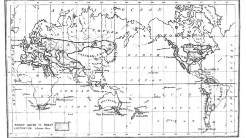
About this artwork
This monochromatic world map illustrates global regions suitable for wheat cultivation, as published in James Caird's work regarding agricultural labor. The map uses a clear visual key to highlight specific geographical zones.
Did you know?
This map was published during a period of intense interest in global food security and the expansion of colonial agriculture. James Caird was a prominent Scottish agricultural improver whose work helped policymakers understand how climate and soil conditions influenced the global grain trade. By visualizing where wheat could thrive, the map essentially served as a guide for economic development and international trade strategies in the 19th century.


On your wall. Unlock the HD download and keep this piece in your Vault — forever.
Know the artwork. Knowing its title and artist turns a beautiful image into a story worth sharing — with a museum label:
World Map Showing Regions Suited to Wheat Cultivation
James Caird, 1869