Map of Europe
1774 Rijksmuseum
About this artwork
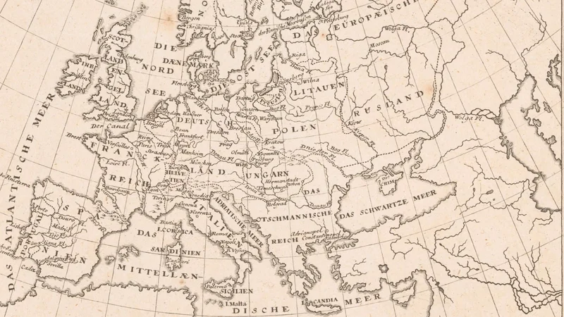
An 18th-century black and white copperplate engraving of a map of Europe with text labels in German. It includes latitude and longitude markings along the border.
Did you know?
Maps from this era, such as this one published in 1774, were instrumental in the Enlightenment's push for standardized geographical knowledge. The labels are written in German, reflecting the dominance of German cartographic publishing houses during the mid-to-late 18th century as they sought to accurately delineate the shifting political boundaries of the continent.

On your wall. Unlock the HD download and keep this piece in your Vault — forever.
Know the artwork. Knowing its title and artist turns a beautiful image into a story worth sharing — with a museum label:
Map of Europe
Rijksmuseum, 1774