Paris and Environs - Sectional Map
1881
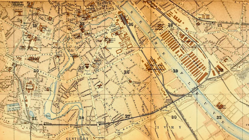
About this artwork
A detailed 19th-century map segment of Paris from a Baedeker travel handbook, showing the Seine river and surrounding infrastructure. The map features numbered grid sections to help travelers navigate the city's districts.
Did you know?
Karl Baedeker's guidebooks revolutionized independent travel in the 19th century by providing standardized, reliable information for tourists. These iconic 'Baedeker' guides were so ubiquitous that the term 'Baedekering' became slang for a certain style of meticulous, sightseeing-focused tourism. The maps within were prized for their extreme accuracy, often considered the 'gold standard' for travelers before the age of digital navigation.


On your wall. Unlock the HD download and keep this piece in your Vault — forever.
Know the artwork. Knowing its title and artist turns a beautiful image into a story worth sharing — with a museum label:
Paris and Environs - Sectional Map
Karl Baedeker, 1881